Share the page
COP28: Satellite data key to climate cooperation issues
Published on
Traditionally reserved exclusively for military and scientific applications, Earth Observation data from satellites are today widely available to the civilian world. They are set to play a key role in addressing the challenges of sustainable development and the environmental transition. There are a wide range of applications for the environment: natural resources management, spatial planning, disaster and risk management, ocean and coastal conservation, water management, air quality, climate change adaptation…
On the occasion of COP28, we take a look at these innovative digital technologies and applications that serve the planet and the issues related to cooperation.
Monitoring, understanding and taking action through geospatial analysis
In October 2023, the Copernicus Climate Change Service (C3S) announced that 2023 could be the warmest on record.
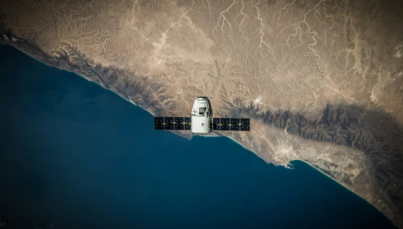
These results are mainly based on Earth Observation satellites that collect data on the Earth system from their orbit, and repeatedly and continuously generate information about the atmosphere, the oceans and land surfaces. With no borders, satellites provide global coverage and continuous data production in near real-time which complete the ground data. They can also monitor natural risks (floods, forest fires, storms…) and the impact of human activities (greenhouse gas – GHG – emissions, water pollution…) on biodiversity.
Satellite data are essential to understanding the dynamics of climate change and its impacts. They also provide input for the climate forecasting models of scientists and the various groups of IPCC experts.
But beyond the scientific community, satellite data are now available to other types of actors. They serve to facilitate decision-making, especially since the operationalisation of the Copernicus Earth Observation programme which generates 400 trillion data every day which are freely available without cost to public authorities, companies and citizens all over the world.
Combined with digital technologies such as AI, satellite data can be transformed into exploitable information that gives a better understanding of the climate and the effects of human activities. They thereby facilitate decision-making for a resilient and carbon-neutral future.
A number of innovative tools, commonly referred to as “spatial applications”, have been developed to inform decision-making in the short, medium and long term. These tools thereby facilitate immediate action to address real threats (natural disasters, water stress, forest fires…). But they can also support the planning, implementation and evaluation of adaptation and mitigation polices in the medium and long term.
Between mitigation and adaptation, a wide scope of application to address climate change
Satellite data can be used to monitor the emission of greenhouse gases, such as methane, nitrous oxide and carbon dioxide. Satellites contribute to the global GHG stocktake provided for every five years under the Paris Agreement. In a few years, they will be able to locate very accurately the sources of methane and carbon emissions and the quantity emitted.
For the carbon cycle aspect, they can also monitor deforestation and vegetation cover degradation, as well as characterise the biomass present in a forest to evaluate and understand the CO2 absorption capacity, and thereby guide carbon offset measures.
In agriculture, satellite data can be used to optimise the use of chemical inputs, by assessing the actual needs of crops, and thereby limit the inputs and the related greenhouse gas emissions. This data also contributes to increasing agricultural yields by fostering precision and sustainable farming, optimising crop productivity through an effective monitoring and management of the land to be irrigated, and improving livestock management. The detection of anomalies and stress in olive groves and coffee fields is a concrete example of this.
In addition to the applications that have a role to play in mitigating the impact of human activity on biodiversity and the climate, satellite data paves the way for a more planet-friendly course of action, based on adaptation. Several sectors hold potential for progress in this respect:
For example, satellites are essential tools for the management of natural risks: prevention, warning systems, damage assessment, and support for reconstruction. They provide decision-makers, emergency services and the population with information in near real-time. In the event of a disaster, signatory countries can activate the International Charter on Space and Major Disasters to access all the available satellite data.
The historical data and projections can be used to assess the levels of vulnerability of infrastructure to climate hazards (land subsidence, floods…). They provide relevant information on the type of materials to use and the best location for new sites. They are also used in urban development to contribute to designing smart and sustainable cities. For example, spatial applications have been developed to map heat islands to guide greening policies. In addition, they are a valuable aid for the management of their planning policies and the risk of submersion due to sea-level rise and shoreline retreat.
Finally, spatial data also contribute to biodiversity conservation by providing indicators for the sustainable management of forests, mines and water reservoirs, the surveillance of illegal fishing, the assessment of marine and coastal health, and the surveillance of poaching and smuggling routes.
Geospatial data as a tool for development and economic sovereignty
Earth Observation data and their applications thereby contribute to increasing our understanding and capacity to adapt to the effects of climate change. More generally, they also contribute to the achievement of the Sustainable Development Goals (SDGs) of the 2030 Agenda by reducing inequalities in access to information, a crucial tool, especially for countries of the Global South which are the most vulnerable to the effects of climate change.
Spatial data are widely used in the West, but much less so in countries of the Global South, whereas the lack of terrestrial infrastructure makes them particularly useful. They could play a key role and enable vulnerable countries to independently manage their adaptation and sustainable development trajectories.
Indeed, free and open access to environmental information is a way of encouraging national sovereignty in natural resources management and decision-making for the future. It is also a way of breaking away from dependence on other actors.
In addition, the adoption of these technologies could ultimately prove to be a powerful vehicle for economic development. They stimulate the creation and development of local private companies specialised in the analysis of spatial data and AI, which promotes innovation and entrepreneurship and increases the number of skilled jobs. They also support the development of a national technology sector, which contributes to economic empowerment and sustainable growth.
Consequently, the benefits of the combined use of spatial data and artificial intelligence go well beyond the management of climate action. They are also a key driver for the strategic independence, innovation, and economic prosperity of countries of the Global South.
The use of spatial data is therefore central to the cooperation dynamics driven by Expertise France, at the intersection of the economy, sustainable development and human capital.

Access and use of satellite data, a new driver for international cooperation policies
Expertise France has built up a network of major actors in the space sector (industry, research and institutions) to develop the best possible thinking on its cooperation projects. The agency also supports the European Commission as co-lead of the working group of the D4D Hub on Earth and Space Observation, and is helping to pool efforts and structure a roadmap in collaboration with all the Member States.
Expertise France is also and especially working with its partners on cooperation projects to promote access to spatial Earth Observation data and build capacities for the use of this data by the stakeholders, in particular the private sector.
For example, in 2021, Expertise France, the Ministry of Higher Education, Research and Innovation of Senegal (MESRI), and the French Embassy in Senegal organised brainstorming workshops to prepare a roadmap to develop the use of spatial data by public and socio-economic actors, especially in certain priority sectors of activity such as agriculture and the planning of cities and coastal areas.
This brainstorming was continued in June 2022 at the “D4D workshops on the development and use of geospatial data in Senegal”, jointly organised by Expertise France, Enabel, the team of the AU-EU D4D Hub and the French Embassy in Senegal and Gambia, in partnership with the Ministry of Higher Education, Research and Innovation (MESRI), the Ministry of Digital Economy and Telecommunications (MENT), the General Delegation for Rapid Entrepreneurship of Women and Youth (DER/FJ), and the Inter-institutional Group for Consultation and Coordination of Geomatics (GICC), with the participation of the Ministry of Environment and Sustainable Development (MEDD), particularly the Ecological Monitoring Centre (CSE).
In 2022, Expertise France was mandated by the EU’s Directorate-General for International Partnerships (DG INTPA) to design and organise awareness-raising events on spatial data and their use all over the world. Expertise France has organised several workshops in partnership with the European Commission, including in Abidjan in Côte d’Ivoire and in Santiago in Chile.
Expertise France is also assisting the Rwanda Space Agency with the definition of a strategy to promote the creation of a community of users of spatial Earth Observation data from their Geohub, a national facility for access to spatial data financed by an AFD loan.
In 2024, under the Team Europe Initiative (TEI) on Data Governance in Sub-Saharan Africa, led by the European Commission, GIZ, Enabel, ESTDEV, HAUS Institute, Digital Africa and Expertise France, the agency will be implementing technical assistance activities to facilitate access to spatial data and help build the expertise of private actors in Senegal, Côte d’Ivoire and Kenya for the development of applications to address local challenges. The Data Governance project aims to support a human-centric data economy, in accordance with the strategic framework for AU data, through several components. To this end, it aims to strengthen policies and regulations on personal and non-personal data, as well as use data, and facilitate cross-border flows to generate value and support sectoral regulations. The objective is to increase the number of European investment proposals for green and secure data infrastructure.
Expertise France is also involved in the creation and acceleration of bilateral partnerships, in particular as a partner of the TEI EU-LAC Digital Alliance where it is working to build these exchanges in the space sector between companies in Europe and the Latin America and Caribbean region.
A niche sector experiencing a major (r)evolution
The space sector has entered a phase of rapid evolution, “New Space”. This has come about through the combined effect of various technological advances and the arrival of newcomers. It sets the stage for the production of even more accurate recurring big data that is easy to use through AI.
For the climate, new satellites will be added to the Copernicus programme. They will have a capacity to measure GHG concentrations with a resolution of 4x4 km² and pinpoint accuracy.
Expertise France is committed to helping its beneficiaries take advantage of these innovations, and thereby ensure sustainable economic development and increase their resilience to the effects of climate change.
In this respect, at COP28 in Dubai, the agency signed the Charter of the Space Climate Observatory (SCO), in partnership with the Centre National d’Études Spatiales (CNES).
Last publications

"In both the Global North and South, we are all developing countries"
Published on June 30, 2026

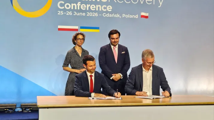
Ukraine: Expertise France reaffirms its commitment to reconstruction and European integration
Published on June 26, 2026